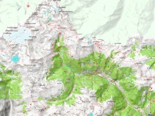
 Nothing takes the place of scouting an area with your feet on the ground. Conversely nothing takes the place of studying maps in the offseason to find new potential hunting grounds.
Hunting is a relatively fast paced sport, relative to changes in the landscape and hunting lands. Even excellent hunting grounds, however do change over time. Areas that were steady producers ten years ago may or may not still be getting the same game use. Short of always being in the woods, learning to study topographical maps for potential spots to be scouted in the spring and summer is indispensible.
Topographical maps show the lay of the land in detail including elevation, creeks, cliffs, roads, jeep trails, wilderness areas, and even meadows.
What to look for. If you are familiar with the area in general and are trying to expand your knowledge, look for places that remind you of great hunting spots. In my area I look for timbered benches and high mountain meadows. I also keep a close eye on ridge and valley intersections. If I can find an area where several valleys come together or ridges crest near each other I know it’s worth checking out. These areas make natural travel paths for elk coming off several different ridges or draws. Large and medium roadless areas also draw my eye for further investigation.
The layout of roads interests me in old and new hunting areas. Hunting from the end of one road through to another road system in the bottom allows us to cover territory in ways that get overlooked by out and back hunters.
An evening or two spent pouring over maps each year with cold beverages and hot pizza keeps us excited about new possibilities. It’s also an exercise in gas savings. US Geological Survey Quarter section maps are readily available and make for a great start on map work. Google Earth and the different GPS maps such as Garmin are also very useful. It is much better to study on the computer than on tiny GPS screens. Use the GPS in the woods and larger formats in the comfort of home.


